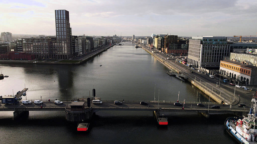
New study finds high levels of harmful pollutant across Dublin’s inner city

A new study has found high levels of nitrogen dioxide across Dublin’s inner city – with particularly high concentrations on Cork Street, the Quays, O’Connell Street and in the area around Temple Bar.
The data showed that during the sampling period, 49.4 per cent of days exceeded World Health Organisation (WHO) guidelines of the harmful pollutant, also known as NO2, with peaks during rush hours, especially in winter.
The data was collected as part of the Google Air View project, using electric Google Street View cars equipped with air sensors.
It was collected over a period of 16 months, from May 2021 to August 2022.
Those behind the study said it highlights the potential for a mobile monitoring approach to investigate the hyperlocal distribution of air pollutants in Dublin.
They said that monitoring and mapping would allow for a “comprehensive understanding” of the air pollution within Dublin city, enabling real-time information about the exposure level and…

We’ve summarized this news for a quick read. If you’re interested, you can read the full article here:

 If you find this site helpful, share it with your friends!